


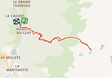

12.2 km | 28 km-effort

User


FREE GPS app for hiking
 SityTrail
IGN / Geographical institutes
SityTrail World
The world is yours!
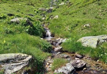
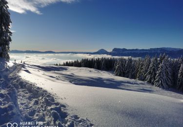
Trail Snowshoes of 10.8 km to be discovered at Auvergne-Rhône-Alpes, Isère, Le Haut-Bréda. This trail is proposed by Zasa .
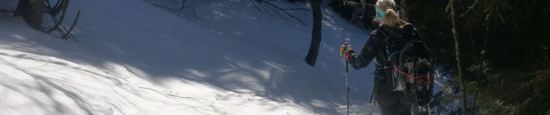
Randonnée sympa en hiver avec paysages magnifiques. Prévoir raquettes, crampons de marche.


Walking
Walking
Walking
Walking
Walking

Other activity

Winter sports
Walking
Snowshoes